|
PWSR Toolkit Home > Study > Develop a River Management Plan

For PWSRs, the local “Comprehensive River Management Plan” (a WSR Act term) developed during the study serves as the guide for implementation when the river is designated. The plan identifies stewardship, outreach, protection and/or restoration measures to sustain your river’s outstandingly remarkable values (ORVs) for current and future generations. Unlike the plans developed for WSRs designated on federal lands, a Comprehensive River Management Plan is completed for PWSR studies prior to river designation as a part of the Study process. Even if a river is not designated into the National Wild and Scenic Rivers System, the plan still has value and can be implemented by communities and local partners. Coordination with NPS staff can ensure the plan meets PWSR study requirements, however the plan should be first and foremost an expression of the local vision for protecting the river. Plans can be river focused or watershed focused and can have any title that the local study committee chooses.
The plan should describe your overall river study, including your approach, findings, and recommendations. How you organize your plan is up to your committee. Providing documentation for all ORVs and summarizing all existing protections for river resources can be cumbersome and you’ll need to find a balance in the level of detail you provide in the plan, while still adequately documenting eligibility and suitability findings. Make use of links to summaries of other reports, develop a detailed reference section, put lengthy tables and assessments in your appendices, and list separate volumes when you can.
 Your Comprehensive River Management Plan should: Your Comprehensive River Management Plan should:
- Document the eligibility for river designation: include specific ORVs – a brief description of each, how they were assessed, the region of comparison, and on which river segment(s) they are located, if applicable; include summaries of water quality assessments; include a description of free-flow conditions and any existing shoreline or river modifications (e.g., hardened shorelines including rip rap areas, existing dams or impoundments, etc.)
- Document the suitability for river designation: include existing protection measures for river resources and the local support and capacity for river protection (remember, the final and ultimate indicator of “local support” will be the community votes to endorse designation and approve the plan that will happen after your plan is written)
- Identify specific segments proposed for designation (segment name, length, and starting/ending points) and the proposed classifications for each – if your river study confirmed that eligibility and suitability criteria were met; presenting river segment information on a map and in a table is helpful
- Describe the study area and characterize the watershed, water resources, and land uses
- Document any other baseline conditions, as well as threats to river resources
- Identify management and stewardship strategies to preserve or enhance ORVs and water quality (While only representing one bullet in a long list, this is a major part of the plan that will require significant effort to develop, organize, and solicit public review and input. This section identifies what a future PWSR Stewardship Committee and other partners will do to protect your river resources for current and future generations. Community adoption of the plan implies agreement with these strategies.)
- Propose an administrative structure or framework for implementation if PWSR designation is achieved
- Provide an overview of how the study was conducted, including outreach and public engagement activities, as well as major milestones or decisions by the committee
More information, examples, and links to river management plans are provided in the sections below.
Recent Plans
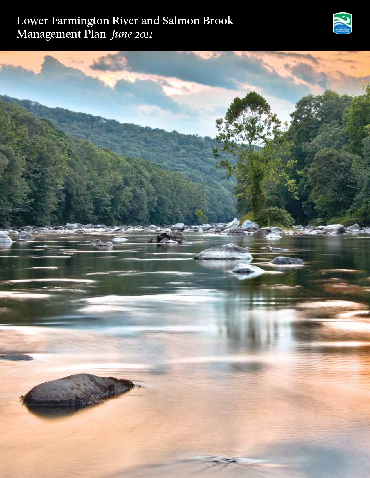
River management plans developed for the most recent PWSR studies are listed and linked below. A quick look at the tables of contents will show you how plans are organized.
Documentation Examples
A deep dive into plans developed for prior PWSR studies will demonstrate various approaches to document eligibility and suitability findings within the river management plan. Details on some of the documentation for York River are noted below:
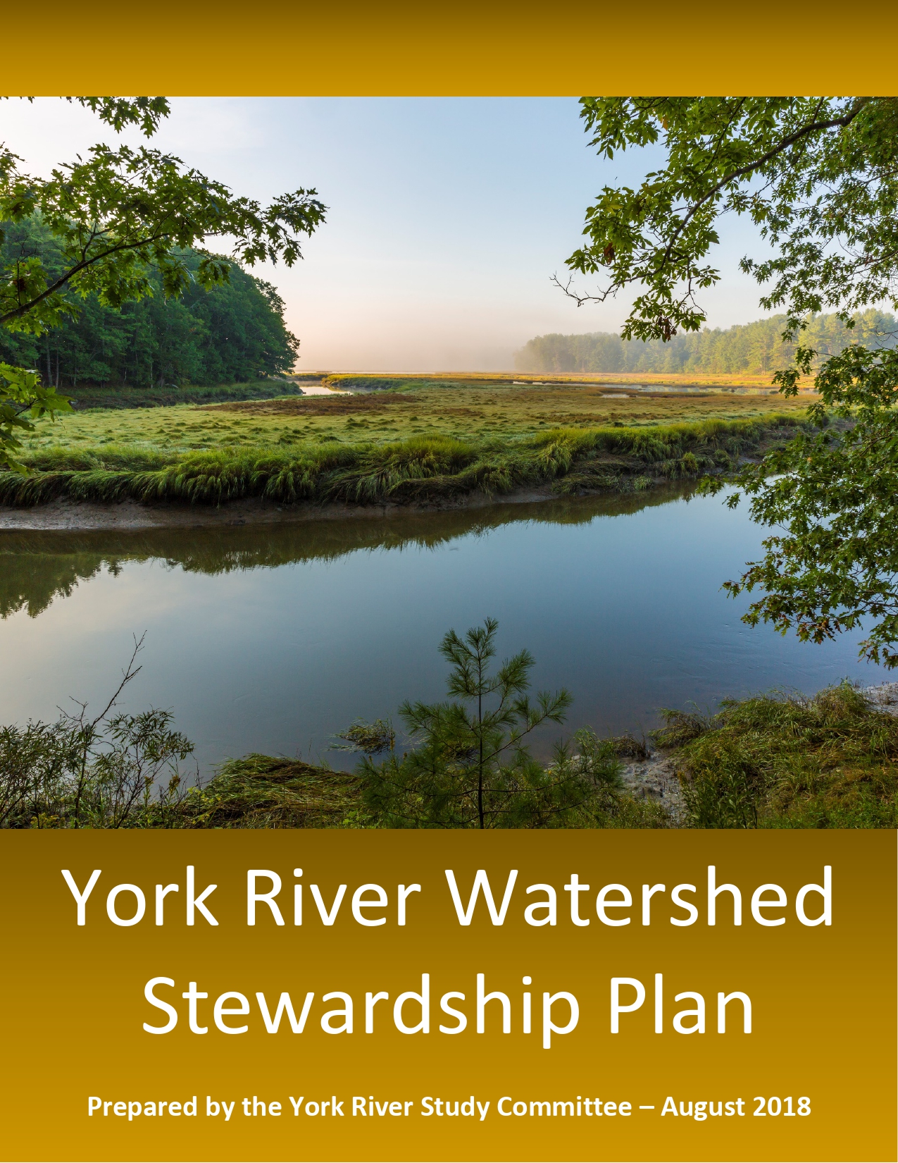 Eligibility documentation: The York River Watershed Stewardship Plan describes and categorizes various ORVs plus other important watershed resources in three sub-sections: (1) Cultural and Historic Resources, (2) Natural Resources (watershed lands; wildlife, habitats, and biodiversity; water resources; and watershed resilience), and (3) Working Waterfront, Recreational Resources, and Community Character. Each section included details on the basis or determination for designation eligibility if applicable, baseline conditions or characterizations, resource threats, existing capacities and management frameworks for river resource protection, and the stewardship goals, objectives and key actions to sustain resource health. Since each section contained ORVs plus other important local resources and addressed watershed scale issues beyond the proposed designated river segments, a separate section of the plan was developed to specifically highlight and summarize PWSR study findings in one place. This section includes river segments proposed for designation and their classification, ORVs (including an ORV table by river segment), river free-flow conditions, local support and capacity, outreach activities/public input, and next steps. Eligibility documentation: The York River Watershed Stewardship Plan describes and categorizes various ORVs plus other important watershed resources in three sub-sections: (1) Cultural and Historic Resources, (2) Natural Resources (watershed lands; wildlife, habitats, and biodiversity; water resources; and watershed resilience), and (3) Working Waterfront, Recreational Resources, and Community Character. Each section included details on the basis or determination for designation eligibility if applicable, baseline conditions or characterizations, resource threats, existing capacities and management frameworks for river resource protection, and the stewardship goals, objectives and key actions to sustain resource health. Since each section contained ORVs plus other important local resources and addressed watershed scale issues beyond the proposed designated river segments, a separate section of the plan was developed to specifically highlight and summarize PWSR study findings in one place. This section includes river segments proposed for designation and their classification, ORVs (including an ORV table by river segment), river free-flow conditions, local support and capacity, outreach activities/public input, and next steps.
Suitability documentation: Some examples that demonstrated local support and capacity for river protection were included in the York River Watershed Stewardship Plan:
- A narrative description and map depiction of local regulatory frameworks, including general zoning and shoreland zoning throughout the watershed
- Examples of municipal ordinances for river and shoreline protection that are more protective than the state minimum standards
- Community votes and commitments of municipal funding for riverside land protection projects
- First in the nation conservation easement to maintain working waterfront use and river access in a partnership between a local land trust and commercial fishermen
- Policies and priorities from towns’ comprehensive plans and open space plans
- Examples of coordination and cooperation among the communities and local conservation organizations on resource management initiatives
These and other specific examples were included in different sections of the Stewardship Plan. Summary tables of some town ordinances were included as appendices to the Stewardship Plan. A separate volume that provided a more thorough inventory and review of towns’ regulatory and non-regulatory approaches for river resource conservation was listed as a companion report since it was too lengthy to include in the Stewardship Plan.
Addressing River-specific Issues
Your plan should address specific river issues, existing uses and conditions, and management considerations that are important to your communities, especially those related to any designation recommendations. Identifying and/or clarifying any issues in the plan can make implementation more straight-forward and can help alleviate concerns or uncertainties going forward. Two examples from recent PWSR studies are noted below:
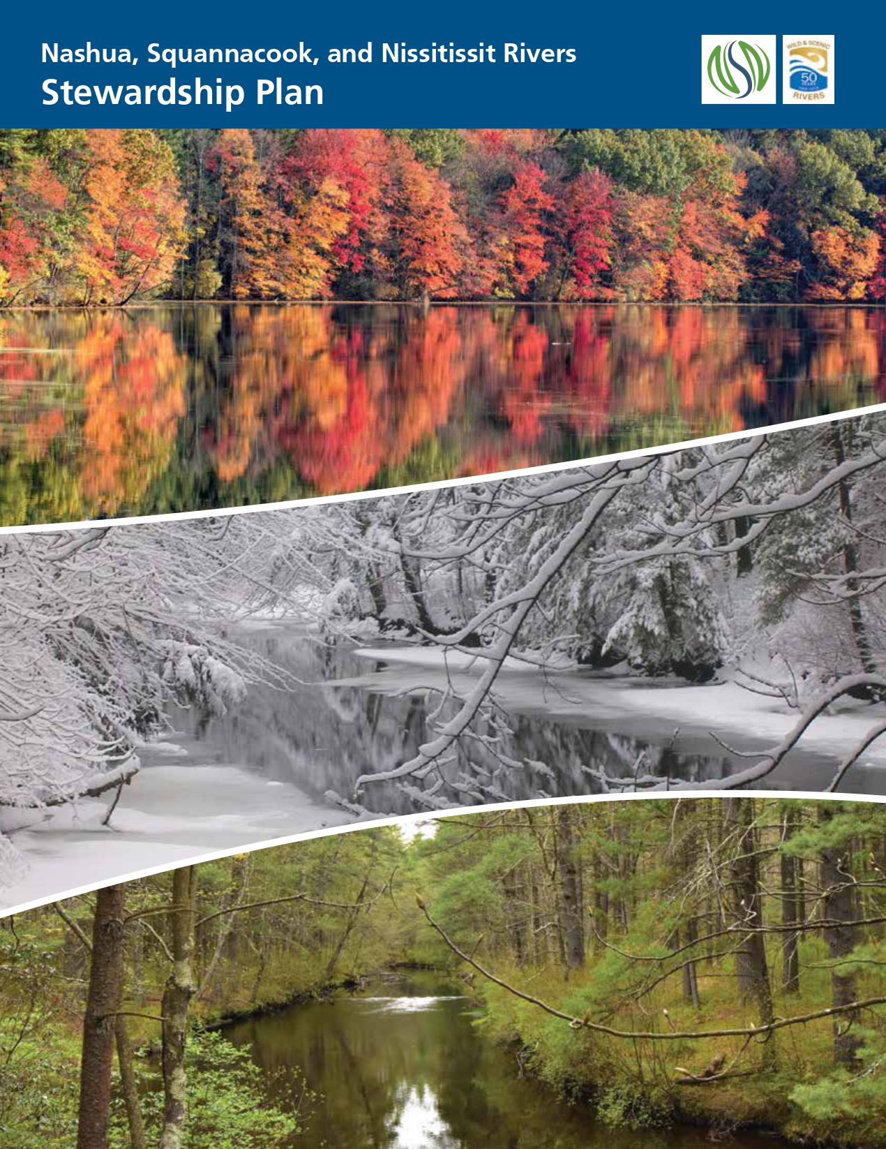 Nashua River, NH – addressing existing uses / working dams and exclusion from designated river segments. Three working dams located on rivers proposed for designation have important historical and cultural values for local communities. The Study Committee identified the dams as existing uses for the rivers and also excluded small upstream and downstream river sections from the designated segments (Stewardship Plan excerpts: “Three working dams in the Massachusetts portions of the Nashua and Squannacook Rivers – the Ice House Dam in Harvard, the Hollingsworth & Vose Dam in Groton, and the Pepperell Dam in Pepperell – will be “grandfathered” as existing facilities compatible with the designation. Designation will not impact their existing operations.” And, elsewhere, “The National Park Service is recommending that small sections be excluded from the designation upstream and downstream from the three working dams in Massachusetts – the Ice House Dam in Harvard, the Hollingsworth and Vose Dam in Groton, and the Pepperell Dam in Pepperell.”). Many more details about the dams, their histories and values, designation exclusion locations, and management recommendations to support associated ORVs were included in an appendix to the Stewardship Plan (Appendix A: Dams). Nashua River, NH – addressing existing uses / working dams and exclusion from designated river segments. Three working dams located on rivers proposed for designation have important historical and cultural values for local communities. The Study Committee identified the dams as existing uses for the rivers and also excluded small upstream and downstream river sections from the designated segments (Stewardship Plan excerpts: “Three working dams in the Massachusetts portions of the Nashua and Squannacook Rivers – the Ice House Dam in Harvard, the Hollingsworth & Vose Dam in Groton, and the Pepperell Dam in Pepperell – will be “grandfathered” as existing facilities compatible with the designation. Designation will not impact their existing operations.” And, elsewhere, “The National Park Service is recommending that small sections be excluded from the designation upstream and downstream from the three working dams in Massachusetts – the Ice House Dam in Harvard, the Hollingsworth and Vose Dam in Groton, and the Pepperell Dam in Pepperell.”). Many more details about the dams, their histories and values, designation exclusion locations, and management recommendations to support associated ORVs were included in an appendix to the Stewardship Plan (Appendix A: Dams).
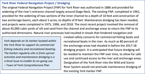
York River, ME – addressing existing uses / harbor dredging (a federally-assisted project) and compatibility with designation. Continued use of and access to York Harbor is very important to local commercial fisherman and recreational boaters, and periodic dredging is required to maintain access. The dredged area is adjacent to (just downstream of) the section of York River proposed for designation and would be subject to Section 7 project review by NPS. In its Stewardship Plan, the Study Committee described and documented baseline conditions/history of the Federal Navigation Project, local support, and the need for future maintenance dredging (see excerpted language below), and the Committee included a specific recommendation to, “Continue to support and implement maintenance dredges” in the Stewardship Objectives / Key Actions section of the plan.
Wild and Scenic Rivers Act Language
Amendments to the WSR Act to designate PWSRs into the national system include language codifying the local plan as the Comprehensive River Management Plan required for all WSRs. Close coordination with NPS staff throughout the process will ensure that the NPS Report to Congress specifically recommends and endorses the local plan as meeting the needs of the Wild and Scenic River designation. This is demonstrated in the excerpts from the authorizing legislation for designation of the Missisquoi and Trout Rivers (Public Law 113-291):
P.L. 113-291. SEC. 3072(b)(1) MANAGEMENT.
(A) IN GENERAL. The river segments designated by paragraph (212) of section 3(a) of the Wild and Scenic Rivers Act (16 U.S.C. 1274(a)) shall be managed in accordance with (i) the Upper Missisquoi and Trout Rivers Management Plan developed during the study described in section 5(b)(19) of the Wild and Scenic Rivers Act (16 U.S.C. 1276(b)(19)) (referred to in this subsection as the ‘‘management plan’’); and (ii) such amendments to the management plan as the Secretary of the Interior determines are consistent with this section and as are approved by the Upper Missisquoi and Trout Rivers Wild and Scenic Committee (referred to in this subsection as the ‘‘Committee’’).
(B) COMPREHENSIVE MANAGEMENT PLAN. The management plan, as finalized in March 2013, and as amended, shall be considered to satisfy the requirements for a comprehensive management plan pursuant to section 3(d) of the Wild and Scenic Rivers Act (16 U.S.C. 1274(d)).
Publication Considerations
Your committee is responsible for development and production of the Comprehensive River Management Plan, including writing, design/layout, printing, and distribution. Funds awarded for your study through the Cooperative Agreement should be budgeted by your committee and used to cover all productions costs, including staff costs and any contractual services.
Your decisions for plan organization, layout, and design should account for usability and readability for both print and digital formats. If printed copies of your plan won’t include all appendices, maps, or other content, be sure to note in the printed version how and where to access this information. Digital copies of your plan should be 508 compliant (see https://www.section508.gov/create/ for helpful guidance, particularly for creating Word documents and PDFs that are accessible)
|
EXAMPLE: Stewardship Plan production and distribution
The Study Coordinator developed the layout and design for the York River Watershed Stewardship Plan and managed the publication process and printing contract ($5,188). The document production company that was hired in 2018 to print the plan prepared two rounds of proofs, made minor adjustments for layout, optimized color for printing, provided information on paper stock and binding options, printed and bound 250 copies of the plan, and provided the final electronic “ready to print” file. Plans were distributed to study participants, members of town boards/committees, partner organizations, state agencies, other stakeholders, and to any community member that requested a copy. Printed plans were made available for public access at every town hall and town library in the study area.
|
Topics in the Study Section
|