- Home
- About
- Training & Events
- 2027 Symposium
- Resources
- For Members
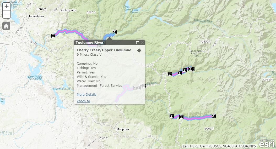
National Rivers Project: A Recreational Rivers Geospatial Map & DatabaseThe National Rivers Project (NRP) (www.nationalriversproject.com) is the website, map and search engine designed for you when you are looking for places to visit and enjoy river, streams and many lake or coastal destinations in the U.S.! Search by location, difficulty, and related activities and see information on trip length, trip type, land manager, descriptive text and photos. The goal of the National Rivers Project is to increase visibility and use for water trails, Wild and Scenic Rivers and whitewater sections. The website and search capabilities come from The National River Recreation Database (NRRD), a geodatabase of water trails, Wild & Scenic Rivers, whitewater segments and respective access points and campgrounds in the U.S. It was conceived to provide a way to: 1. Offer a high-level view of rivers across the nation using attributes important to and familiar to fans of rivers and outdoor recreation. 2. Direct visitors to the definitive, detailed resource for experiences that can help them plan a visit. The NRRD includes information on specific river access points to help you plan your trip, research project or resource analysis, assembling spatial and attribute data for a wide variety of types of river segments in a user-friend form. www.nationalriversproject.comWhere Do Our Data Come From?The River Management Society partners with a variety of organizations to bring data into the NRRD. The project creatively combines GIS and attribute information from federal agencies such as the National Park Service; state departments of fish & game and, departments of natural resources; municipal planning groups, tourism & development organizations, or regional authorities; non-profit water trail organizations, environmental non-profits, recreation and conservation groups; and local community organizations. Methods for Adding DataWe make is as easy as possible to add data for rivers like yours to the NRRD. If your group has collected geospatial information for your river(s), we’ll work with you to retrofit pre-existing data into the NRRD template. This has worked well when we’ve partnered with state-level water trail programs whom often already track data on recreational rivers and access points.
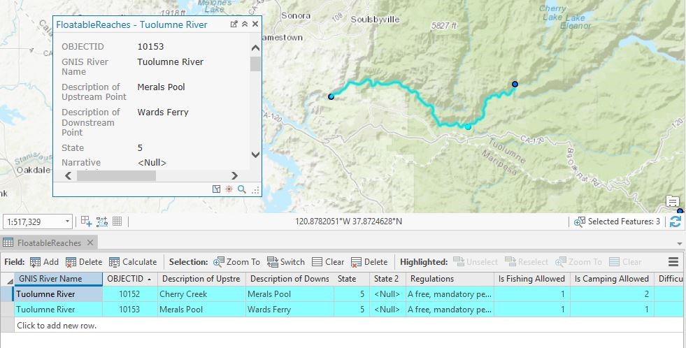
If your group is not familiar with geospatial technology, never fear! We have non-GIS methods for adding to the NRRD, using pre-formatted spreadsheets with latitude and longitude coordinates for access points and campgrounds, along with the respective information about the points. Data partners can then also fill out the ‘floatable reach’ spreadsheet which details river sections between access points. These floatable reaches are created by referencing the access points to the National Hydrography Dataset, the authoritative reference for flowing water, maintained by the US Geological Survey (USGS). The NRRD provides river recreation and management information useful to resource managers and interested public land agencies.Public land managers, water trail leaders and stewards of rivers nationwide use the NRRD to research and compare consistent attributes across river segments around the country, for it is the only authoritative resource of its kind. Data Partners Welcome!If you are a river manager, municipal agency employee, GIS specialist, or someone associated with an organization who manages data for a particular section of river (water trail, Wild and Scenic River, whitewater section, etc.), and feel that your river would fit into the NRRD, let’s talk! Benefits of Contributing to the National River Recreation DatabasePlace your water trails and recreational river segments in front of a national audience! By sharing your data with River Management Society, you're joining an extensive list of rivers and organizations dedicated to paddling. Much like one might 'surf' the internet from website to website, the National Rivers Project makes it easy for a river 'shopper' to easily learn about multiple rivers that are geographically similar, search by difficulty, and see other recreational opportunities that might exist nearby. With your data hosted on www.nationalriversproject.com, and searchable amidst all other paddling reaches in the US, potential visitors can easily find information on your sections that will encourage them to visit you during their next trip to your region. |
