
- Home
- About
- Training & Events
- 2027 Symposium
- Resources
- For Members
Calendar
|
SE Chapter Wolf & Hatchie (TN) Trip
Friday, October 23, 2026, 8:00 AM to Sunday, October 25, 2026, 5:00 PM EDT
Category: Chapters
Join RMS Southeast Chapter leaders, local river managers, and partners to explore two of southwest Tennessee's prettiest and most diverse rivers: the Wolf and the Hatchie, a recently designated state water trail. Learn about the new Tennessee Office of Outdoor Recreation and its statewide water trail program called BluewaysTN, the Tennessee Scenic Rivers Association, River Management Society, and local river management and access development. Our base camp will be at Lone Oaks Farm where both private rooms and camping will be available. We invite you to bring your own kayak or canoe and PFD, or you may borrow these if needed. Itinerary
RegistrationThis trip is open to RMS members and non-members, and participation is limited to 15 people. Lodging in a private room is $130 per person per night, or camping is available for free, and you will need to supply your own tent and camping gear. Meals for the weekend (from Friday dinner through Sunday breakfast) will be provided for $100. RegisterAbout These RiversWolf River and the Lost Swamp
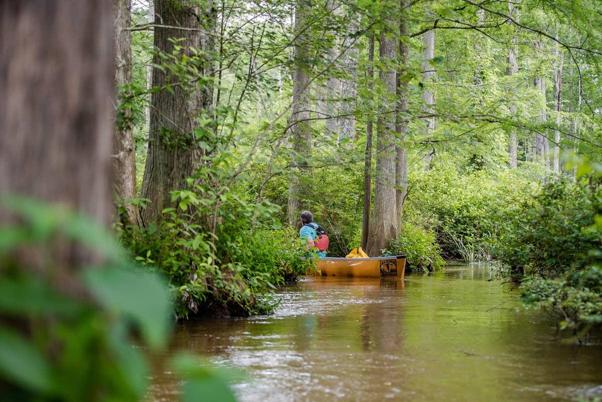
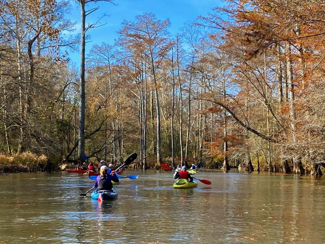
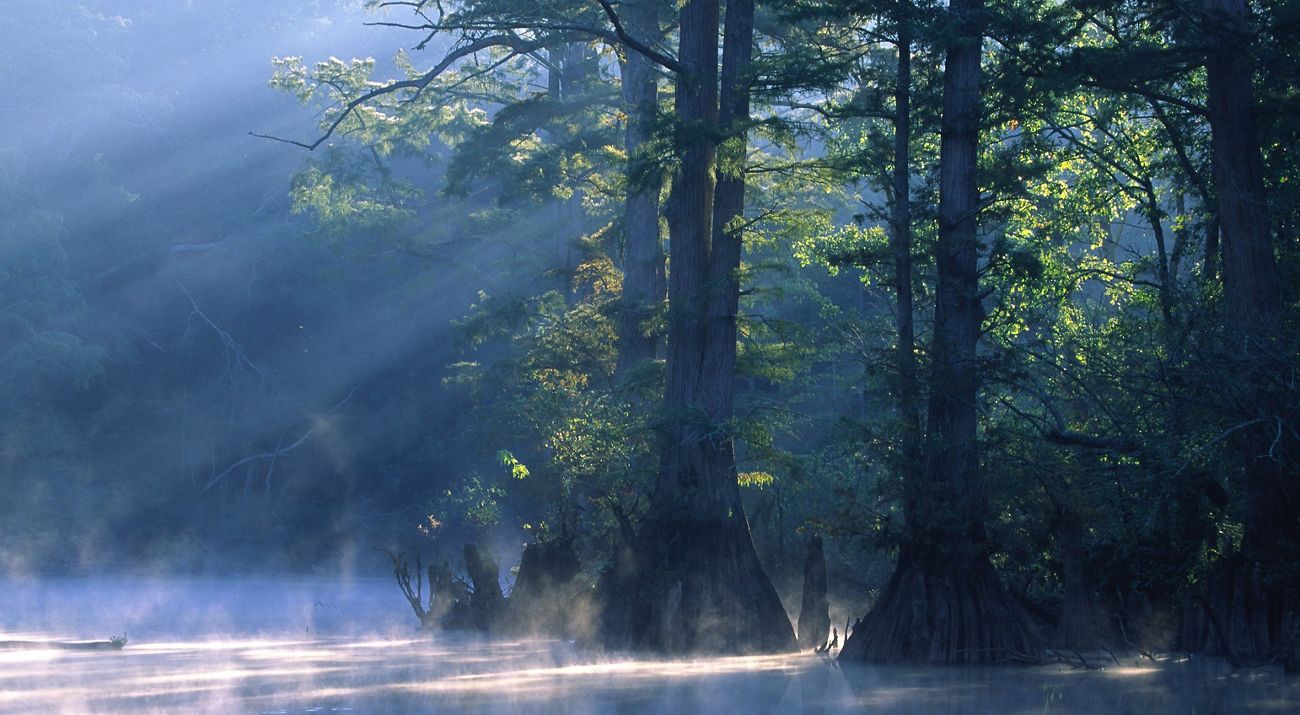
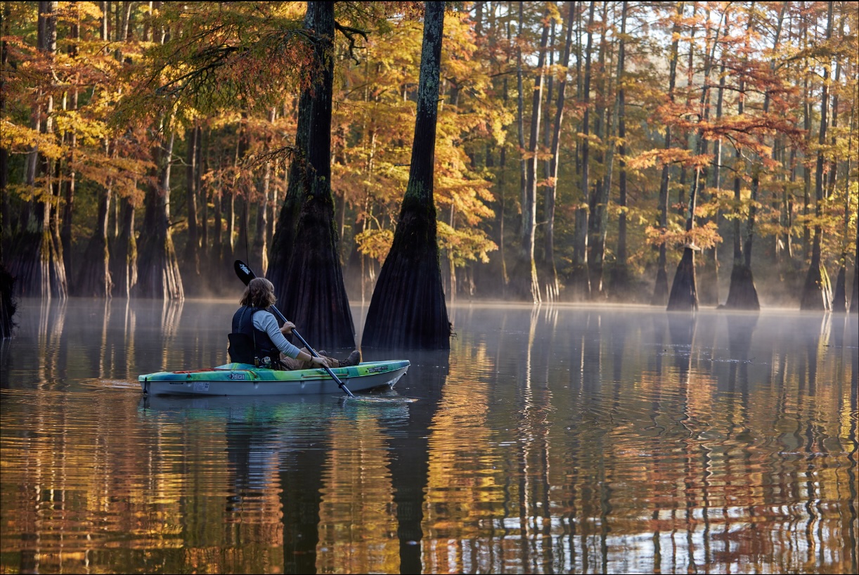
Our float will explore the approximately six-mile Lost Swamp section, beginning at Bateman Bridge and ending in Moscow. Although classified as Class I, this is one of the relatively few Class I river sections that could fairly be described as somewhat technical. The water is moving—and can be swift in places—while paddlers must navigate through a maze of closely spaced bald cypress trees and cypress knees. Successfully following the channel requires precise steering, attentive boat handling and the ability to make quick corrections. The route is both challenging and strikingly beautiful, passing through intimate swamp corridors and a cypress-filled area known locally as “the Cathedral.” This trip will take five to six hours. For more information: https://www.wolfriver.org/ Hatchie River and the Bolivar Section
Our float will cover just under eight miles from U.S. Highway 64 to Tennessee Highway 18 near Bolivar. A featured part of this Tennessee Blueway, this Class I section follows the Hatchie through a broad, heavily forested floodplain and into the town of Bolivar, which is working to develop this recreational asset. The river’s slow current, sweeping bends, high wooded banks and seasonally exposed sandbars create a relaxed but immersive paddling experience. Along the way, participants will see the natural channel movement, woody structure and floodplain connectivity that distinguish the Hatchie from the channelized rivers found across much of West Tennessee. The trip typically takes approximately four to five hours, depending on water level, current and time spent exploring. For more information: https://www.hatchieriver.org/ Questions?Reach out to RMS via our Contact Form. |
 Prev Month
 View Month
 Search
 Go to Month
 Next Month
 Export Event








River Management Society
P.O. Box 5750
Takoma Park, Maryland (MD) 20913-5750
(301) 585-4677
[email protected]
© Copyright 2017-2026, River Management Society